
Finding a Placentia Street Directory Trail
A street search should move in a fixed order because no single Placentia system contains a complete household list. Start with one standardized address and write down the source date. The Treasurer search supplies the parcel key, the map confirms the parcel shape, RecorderWorks follows recorded parties, and city permit records add a separate address history. The voter layer is not a public browse tool. Historical directories can add a past household only when the relevant year and locality heading are verified.
- Enter the address in the Orange County Treasurer tax search and select the matching street entry to obtain the APN.
- Accept the OC Tax Map disclaimer, locate the parcel, and inspect both sides of the street, corner geometry, and nearby parcel keys.
- Use the APN in the Assessor's secured-value endpoint and in RecorderWorks, keeping owner, indexed party, and occupant as separate labels.
- Check SmartGov or Building and Safety for a public permit, project address, applicant role, inspection chronology, or final record.
- For earlier households, ask the History Room or Archives about a verified street section, then compare the result with a directory year, census date, or deed record.
The result is a chain of address evidence, not a claim that every name encountered lives there now. Keep the APN, legal description, recording reference, permit number, and historical citation in separate notes.
Placentia Street Records Start with APN
The Orange County secured property search is the first property-record checkpoint. Its public form accepts an eight-digit APN and suppresses owner names. It returns annual-roll value and exemption information, so it helps confirm that the parcel key is correct but does not behave like an owner-name street directory. Use the address-to-APN bridge first, then carry that number into the other county systems.
| APN | Text field; required; eight numeric digits. |
|---|---|
| Submit | Runs the secured property value search after the APN is entered. |
| Owner name | Not an available public search field; owner names are suppressed online. |
| Other roll products | Use the Public Service Counter or a written order for current products, roll pages, or maps. |
Open the Orange County Assessor search when the APN is ready. The Public Service Counter at 500 S. Main Street, second floor, Orange, is open Monday through Friday from 8 a.m. to 5 p.m. Research notes list a $1 roll screen, 15 cents per photocopied page, a $1.50 map, and a $1 certification fee. The Assessor product questions line is (714) 834-2727. Verify current product charges before ordering.
Open the Orange County Assessor source to see the APN-only form behind a careful Placentia street directory.
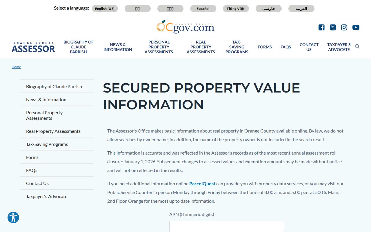
It shows why an address must be converted to a parcel key before an indexed party can be checked elsewhere.
The Placentia Address-to-Parcel Bridge
The Orange County Treasurer-Tax Collector search supplies the practical address bridge. Its secured modes include Street Address autocomplete, Parcel Number, and Tax Default Number. The street mode requires selecting the standardized address from the drop-down. The documented unsecured modes accept a TC reference, tax year and assessment number, business name, tax lien number, watercraft CF number, or aircraft N number.
Call (714) 834-3411 when address autocomplete fails. The tax layer updates after the annual roll in late July and remains static for the fiscal year. A recent parcel split may therefore be missing, and possessory-interest parcels or some mobile homes may not search. The map is a separate county channel: accept the OC Tax Map disclaimer, then compare the map geometry with the tax result.
Address → APN → geometry → RecorderWorks is the core Placentia street directory path. A parcel number is more stable than a street spelling, but it still identifies a property key rather than a full household.
The county address search shows the first conversion step.
Open the Orange County Treasurer address search before moving from the selected tax address to the map and parcel channels.
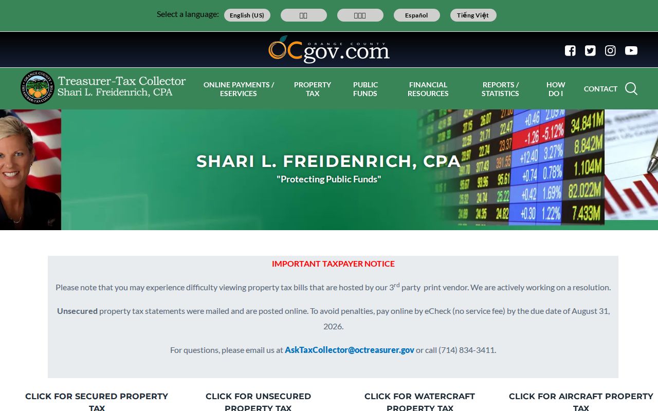
Use the selected tax address as the bridge into the map, assessor, and recorded-document channels.
Open the OC Tax Map launch page to accept the disclaimer before inspecting parcel geometry.
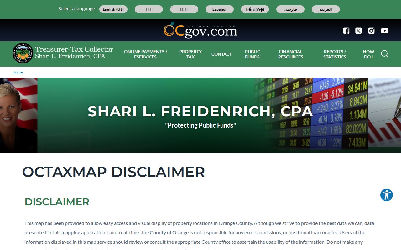
The tax map adds parcel shape and neighboring APN context to the address bridge.
Placentia Records by Street and Address
Address-keyed sources answer different parts of a street directory question. Tax search connects a standardized address to an APN. OC Tax Map and OC Landbase show parcel geometry and attributes. RecorderWorks connects the APN or legal description to indexed documents. SmartGov adds public permit context. MapPlacentia adds zoning and land-use information. California voter records cannot be used as a casual street-by-street browse list.
| Record set | Keeper | Street evidence | Access and limit |
|---|---|---|---|
| Treasurer Tax Search | Orange County Treasurer-Tax Collector | Address to APN and tax path | Free web lookup; annual layer timing |
| OC Tax Map | Orange County mapping system | Parcel geometry and nearby APNs | Free after disclaimer; omissions possible |
| OC Landbase | OC Public Works | APN, owner, street, and district attributes | Annual public GIS release; not occupancy proof |
| RecorderWorks | Orange County Clerk-Recorder | Deeds, liens, maps, and indexed parties | Free index; images and copies require a reference and fee |
| SmartGov and Building | City of Placentia | Permit, project, and notice context | Public modules; account, beta, and legacy limits |
| MapPlacentia | City of Placentia | Zoning and land-use layers | Free viewer; no resident list |
For a complete street segment, define endpoints or a number range before collecting parcels. Record both sides, corner parcels, and any master parcel or unit APNs. Count parcels, not presumed households. A corner situs can use the intersecting street, a condominium can have a master parcel plus units, and a vacant or common-area parcel may have no ordinary house number.
The record set becomes a defensible Placentia street directory only when every row keeps its own custodian, date, and limit.
OC Landbase for a Placentia Block
OC Public Works Landbase supplies a different scale of street evidence from the parcel viewer. The research describes more than 687,000 parcel geometries with key attributes, plus a public annual shapefile release. Final tract and parcel maps appear about four to six weeks after recordation, while records of survey, lot-line adjustments, deeds, and annexations are posted on their own schedules. Use the data to set a block boundary and identify parcel keys, not to infer a list of people.
For adjacent parcels, verify the target popup, preserve map scale, and click parcels touching the target boundary or directly facing it across the right-of-way. Rear parcels can be closer than a same-street address. Preserve the geometry and map date in the research note. A documented buffer tool was not verified in the research, so do not imply that a radius selection exists.
Review the OC Landbase parcel guidance when a subdivision, survey, annexation, or lot-line adjustment changes the block's shape.
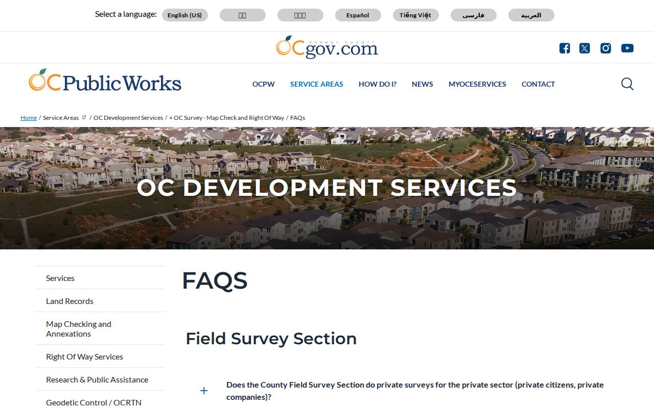
The Landbase capture supports a parcel-by-parcel method, while the final resident conclusion still requires a separate official record.
Why Placentia Owners Are Not Occupants
A deed identifies a transfer or another recorded interest. An assessor record describes a parcel and annual roll information. A permit can name an applicant, owner-builder, contractor, or agent. A mailing address can differ from the physical situs. None of those roles is a complete household statement. This distinction is especially important for multiunit property, trusts, absentee ownership, and parcels used by more than one household.
- Parcel
- A mapped property unit identified by an APN; one parcel can contain more than one residence or a common area.
- Situs address
- The physical location assigned to the parcel, which can differ from a mailing address.
- Plat
- A recorded map that explains subdivision, lot, block, street, or parcel geometry.
- Criss-cross directory
- A historical reverse section arranged by street or address when a verified volume contains one; its local run remains unconfirmed.
Use the terms as labels in a Placentia street directory notebook. A recorded party can be a grantor, grantee, lien party, or another indexed role. A permit applicant can be a contractor. A registered voter represents registration at a particular record address, not every person present there.
RecorderWorks Uses APNs, Not Street Names
Deed-by-street research is performed through the APN, legal description, party name, or recording reference. RecorderWorks covers electronic indexing from January 4, 1982 to the present. Search modes include name, APN, legal description, document number, recording date, document type, book and page, map, and index books or fiche. Name mode requires a last name, and a partial first name is recommended. A result can show the document number, indexed names and roles, document type, recording date, older book or page reference, and an APN or legal-description path.
Use the free index to identify a reference, then request an image or certified copy from the Clerk-Recorder counter or mail channel. Staff do not conduct substantive index research by phone, mail, or counter. Mail requires a self-addressed stamped envelope and a check payable to Orange County. For historical records, the Archives property indexes cover 1889-1953, with documented deed volumes from 1889-1926. The exact continuous bridge from 1954 through 1981 is not stated.
Search GRANT DEED, DEED, QUITCLAIM DEED, TRUSTEES DEED, STREET DEED, easement, parcel, subdivision, survey, annexation, and related map types as the record question requires. Do not treat a TRUST DEED or reconveyance as a transfer of title.
Placentia Permits Add Dated Address Clues
SmartGov's public home presents Parcel Search, Public Notices, My Portal, and Business Portal. A public result may provide a project address, permit type, applicant role, issue or final date, valuation, or inspection chronology when that field exists. Applications and inspection results can require an account. Building and Safety remained in beta during the 2026 fee transition, and the city warned that displayed fees could be incorrect.
If the permit is not online, call Building and Safety at (714) 993-8124. The department directs researchers to online records first and uses the City Hall counter for older or missing material. A focused California Public Records Act request can ask for application, permit, correction, inspection, and certificate or final records as separate categories. The legacy cutoff for SmartGov is unpublished, so do not invent an online start year.
A permit date marks a physical project, not a move date. Use it to explain when a structure was built, expanded, reroofed, rewired, replumbed, or demolished, then compare the address with deeds or historical sources.
Historic Placentia Street Sections
The verified regional directory years are 1926, 1929, and 1931. The National Archives lists Placentia and Atwood separately, so a historical street search should check both headings and any locality or street section the volume provides. No actual Placentia directory page was openly inspectable in the research, and the publisher, reverse-directory run, telephone-book years, and abbreviation key remain unconfirmed.
For an older street clue, record the exact volume title, year, locality heading, street, number, page, and citation. Compare it with a census date, parcel legal description, photograph, newspaper, yearbook, or deed. Do not modernize a historical street number or assume that a present address maps directly to an earlier one. The full verified collection trail is in the Placentia city directory page.
A historical street section can show an occupant or business at one publisher's moment. It cannot prove a continuous household or current resident.
Placentia Zoning Is Not a Resident Roll
MapPlacentia adds zoning and land-use context to a street directory search. The city viewer can help explain why a block contains a mix of residential, commercial, industrial, or civic parcels, but it does not supply ownership or a resident list. Use it alongside the OC Tax Map and parcel records, not as a substitute for them.
Record the map layer, parcel geometry, and date of inspection. A zoning designation describes permitted land use, not the people who use a place. Planning applications and corridor records may add a dated project history, especially around Old Town, the Packing House District, or the Chapman Corridor, but those planning files remain a separate city record genre.
The distinction keeps the Placentia street directory tied to evidence: maps describe land, deeds describe recorded interests, permits describe projects, and historical sources describe a past moment.
Limits on a Placentia Street Directory
A street search cannot reach most household members, DMV address data, utility customer information, delivery records, or protected voter fields. California law blocks the proposed browse-nearby-voters use unless the requester independently qualifies for a permitted purpose. Even an authorized voter dataset represents registration, not everyone at an address. A compiled private-neighbor roster should not be published from parcel keys.
Public organizational contacts are different. A city Neighborhood Services officer, a recorded HOA entity, or a public business-directory contact can be approached through the organization. Voluntary member lists, congregation rosters, watch contacts, and household data are not presumed public. The History Room's organizational archives document past community networks rather than current membership.
Lawful personal use. Placentia street and address records are for legitimate personal, family-history, civic, or records research. Do not use a map, voter record, court address, deed entry, or directory clue to stalk, harass, threaten, or harm anyone.
When a source does not answer the question, say which portal was checked, what query or APN was used, the stated coverage, and the date. A qualified no-result is more accurate than a guessed resident name.