
Placentia ZIP Codes by Delivery Role
The Placentia ZIP code directory has two postal roles documented in the local research. One is a geographic street-delivery ZIP. The other is tied to Placentia post-office boxes and the facility itself. Treating both rows as if they describe the same land area would distort a resident count, a map search, or a record request.
| ZIP Code | Areas Covered | Post Office | Notes |
|---|---|---|---|
| 92870 | Standard Placentia street delivery, including City Hall and library areas | Placentia Post Office local route | Geographic delivery ZIP; the located Placentia Census ZCTA |
| 92871 | Placentia PO boxes and the facility association | 1400 N. Kraemer Blvd., 92871-9998 | PO-box or facility association; no defensible resident population |
Both ZIP codes are assigned to Placentia and Orange County in the official state and county list used for the research. The table is a routing aid, not a household roll. A physical address should be checked through USPS, then tied to a city boundary and parcel record separately.
Placentia ZIP Code 92870 Carries Street Delivery
92870 is the geographic delivery ZIP in the Placentia research. For a street address, the Placentia Post Office record is useful evidence for the facility and local service, but it is not a complete boundary map. Use the USPS ZIP Lookup for the standardized delivery answer, then retain the returned ZIP with the exact street address and city or state values.
The captured USPS facility record identifies 1400 N. Kraemer Boulevard and the 92871-9998 facility ZIP. Listed services include PO Box Online, General Delivery, hold and pickup, passport appointments, and a 24-hour kiosk. Retail hours are Monday through Friday from 8:30 a.m. to 5 p.m. and Saturday from 9 a.m. to 1 p.m.; the published phone is (714) 993-1163.
The USPS Placentia location source grounds the facility details used beside a ZIP code directory search.
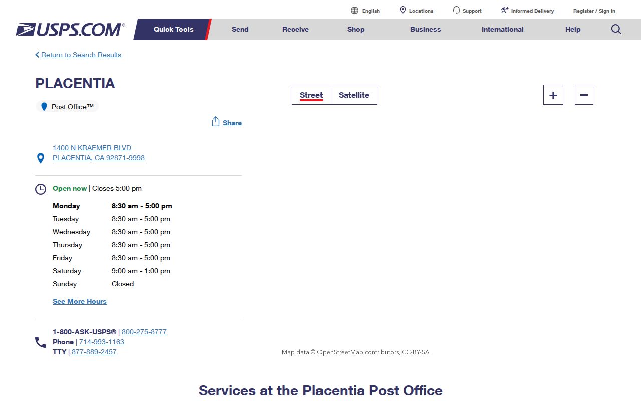
The post-office screen confirms services and hours. It does not show which parcels lie inside the incorporated city, and it does not create a list of residents who receive mail on the route.
Placentia ZIP Code 92871 Has PO Box Geography
92871 should not be assigned neighborhoods or a resident population. The documented examples connect it to Placentia PO boxes and the post-office facility, including the 92871-9998 facility address. For a PO box, use the number exactly as instructed by the facility or box holder. For a residence or business physical address, verify the standardized street address instead of inferring a delivery ZIP from the city name.
This distinction is the main comparison in the Placentia ZIP code directory. A geographic ZIP can be approximated by a Census ZCTA. A PO-box or facility-associated ZIP may be valid for mailing while lacking a matching ZCTA. No 92871 ZCTA or population was found, so a claimed 92871 resident total would be unsupported.
Postal versus geographic. A ZIP code is a delivery construct. It is not automatically a city boundary, a parcel layer, or a count of people.
Finding Placentia Residents by ZIP Code
A ZIP code is usually a secondary filter in a Placentia resident search. The safest workflow confirms delivery first, then moves to the key used by the record keeper. The local research did not verify a ZIP-wide resident export in an assessor, voter, GIS, or other Placentia portal.
- Run the street address through the USPS ZIP Lookup and save the standardized address and returned delivery ZIP.
- Check the city line against the Placentia boundary in MapPlacentia. Postal acceptance of “Placentia” alone does not prove incorporated-city jurisdiction.
- Use the Treasurer’s address search to convert the parcel address to an APN. The assessor’s public endpoint accepts an eight-digit APN, not an owner name or a ZIP-wide name query.
- Use the APN, legal description, or party name in the proper county record system. RecorderWorks is keyed to recorded documents, the court is keyed to cases, and voter self-lookup is authenticated.
Once a ZIP narrows the address set, street-level work belongs in the Placentia street directory. That workflow counts parcels and recorded parties without assuming that a ZIP row is a list of people.
ZIP Code Boundaries and Placentia City Limits
Postal and civic geography overlap, but they answer different questions. The USPS result answers where a carrier delivers. MapPlacentia helps check the incorporated city and land-use context. The Treasurer and parcel map connect the address to an APN. A legal description and parcel boundary then supply a more stable record key than a postal label.
- ZIP code
- A postal delivery designation used to route mail. It may serve a broader or different area than an incorporated city.
- ZIP+4
- An added four-digit delivery extension that refines a mailing route; it is not a parcel or resident identifier.
- PO-box ZIP
- A ZIP associated with post-office boxes or a facility rather than a normal geographic street-delivery area.
- ZCTA
- A Census approximation built from census blocks. It can resemble a ZIP but does not equal every delivery boundary.
- Carrier route
- A delivery route used by the postal system inside a broader ZIP geography.
For records, preserve the USPS address, city boundary result, APN, situs, mailing address, and legal description as separate fields. Situs is the physical parcel. Mailing is where correspondence goes. Neither field alone proves who occupies a place.
Placentia 92870 ZCTA Is Not City Population
The Census ZCTA explanation is essential when a ZIP code directory is used with statistics. ZCTAs approximate delivery ZIPs with census blocks, so a 92870 profile should not be treated as the population of incorporated Placentia without a boundary comparison. The research found 51,824 residents in the 2020 Census and a July 2025 estimate of 54,911 for the city context, while the ZCTA remains an approximation rather than a city count.
92871 has no located ZCTA or population. That absence is not a missing number to fill by guesswork. It follows the documented PO-box and facility role. Use the Placentia QuickFacts table for municipal context, and do not divide or compare a city total with a 92870 ZCTA as if the boundaries were identical.
The Census geography capture explains why a ZIP code directory can support a delivery check while still being the wrong unit for a population claim.
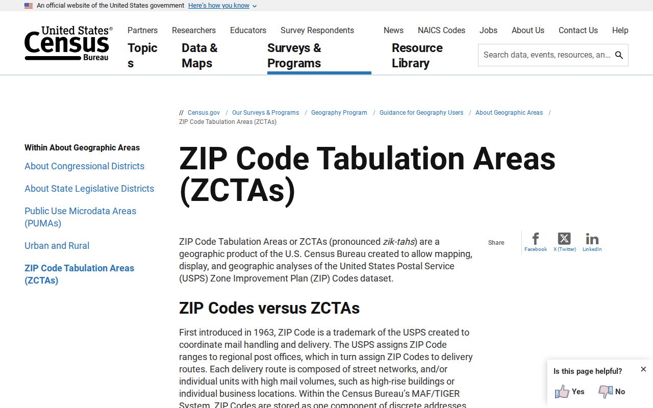
Use the ZCTA as a statistical approximation only after naming the geography. A ZIP result, a ZCTA estimate, and a city population are three different observations.
Old Town's Placentia ZIP Code Clues
Placentia’s older address landscape helps explain why a ZIP code is not a full historical key. A.S. Bradford’s 1910 rail campaign created the depot and packing-house Old Town core, and three Santa Fe Avenue blocks were repeatedly subdivided from 1910 through 1912. Those facts anchor archive and planning searches, but they do not establish a citywide numbering formula. When a historical street description changes, the APN, lot, block, subdivision, and legal description are stronger bridges than a modern postal label.
The Chapman Corridor Revitalization Plan describes an approximately one-mile, 55-acre segment between the Fullerton boundary or Placentia Avenue and Kraemer, with development from the 1920s through the 1980s. “Old Town,” “Packing House District,” and “Chapman Corridor” are useful folder and GIS search terms because planning records follow a place or parcel, not a resident ZIP list.
The official Chapman Corridor source supplies the local geography behind this ZIP code directory section.
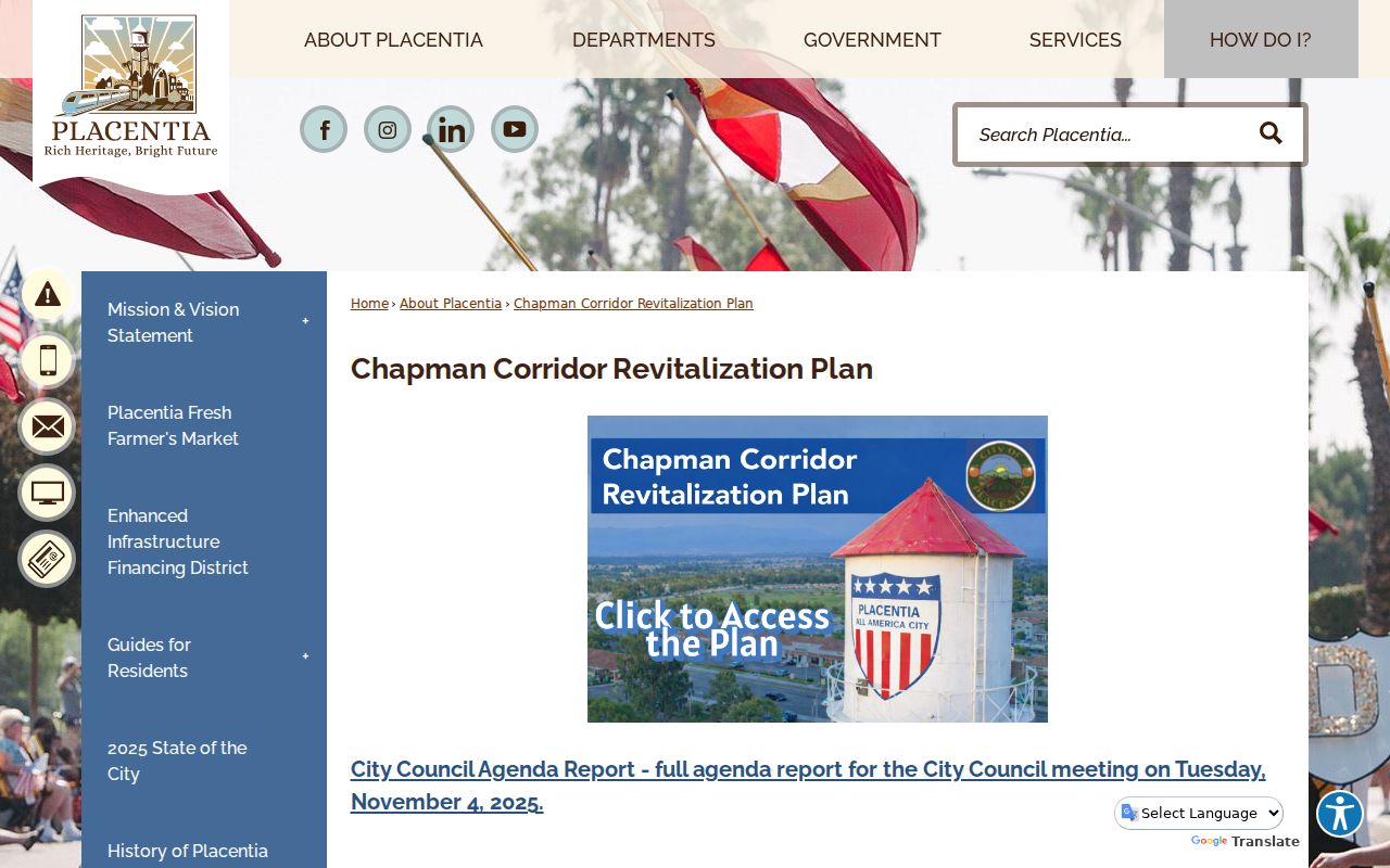
Planning context can explain a changed parcel or address description. It does not turn a corridor plan into a resident directory.
Situs, Mailing Address, and Placentia Legal Description
The property trail starts with address, Treasurer tax search, APN, parcel geometry, and then RecorderWorks conveyance parties. The online assessor supplies annual value and exemption information by APN but suppresses owner identity. RecorderWorks supplies indexed names, document types, dates, numbers, APN paths, and legal descriptions; it is not an ordinary address directory. A deed identifies a recorded interest, not every person at a place.
A postal label is only one field in that chain. USPS answers delivery for a standardized address, while the city GIS answers whether the parcel sits inside incorporated Placentia. The Treasurer layer can lag a recent split until its annual update. RecorderWorks may then use an APN, legal description, or party name that does not look like the mailing line. A PO box, General Delivery entry, or facility address also describes a delivery relationship, not a situs parcel. Preserve the exact source wording before normalizing a name or street.
When the address, city, and parcel layers disagree, record the conflict. Note the USPS return, the MapPlacentia boundary result, the APN, the situs, the mailing address, and the legal description as separate observations. A county office can explain which product controls its record, but a researcher should not manufacture a ZIP boundary or a household count from a mismatch. That discipline keeps a ZIP search useful for routing while leaving resident identity to the proper custodian. For a PO box, retain 92871 as the box address; for street delivery, retain 92870 only after USPS confirms it directly.
Recent parcel splits can be absent from the Treasurer layer until an annual update. A city parcel can carry a postal name shaped by route geography, and a mailing address can differ from the physical situs. Keep each field in its own column before using a ZIP code directory result to narrow a search.
No official street-by-street list of ZIP mismatches, ZIP split year, ZIP-capable assessor or voter filter, or per-ZIP voter count was found. Those are research gaps, not invitations to infer a boundary from a place name. The defensible next step is USPS for delivery, MapPlacentia for jurisdiction, and the custodian for the record keyed to the resulting address or APN.